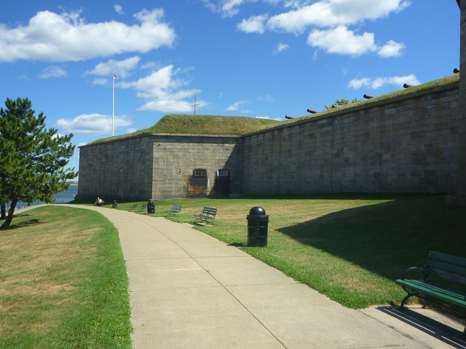
A section of the perimeter walkway around Fort Independence
| Tweet |
An interpretive board in the nearby Thomas J. Butler Memorial Park displays an aerial photography of the bastion-enhanced fortress and provides the following summary:
Fort Independence at Castle Island is one of the oldest fortified
sites of British origin in the U.S. In 1634, Boston's original
founders built the first small fort at the site known as the
“The Castle”. The prominent location adjacent to the
main shipping channel was strategically important to control access
to Boston Harbor and protect the growing city. Through 1851, the fort
underwent eight iterations of reconstruction and modernization.
Today, Castle Island is connected with the mainland of
South Boston.
In his article with the title
“The story of Castle Island” (Aug. 13, 2016)
Sagar Jauhari presents a Boston Harbor
map of 1776 showing that Castle Island was an actual island located east
of the Dorchester Heighs peninsula.
The island and the fort became part of the peninsula when,
from 1890 until 1920, the marshes in-between were filled to create
green space and promenades.
