
|

|
||
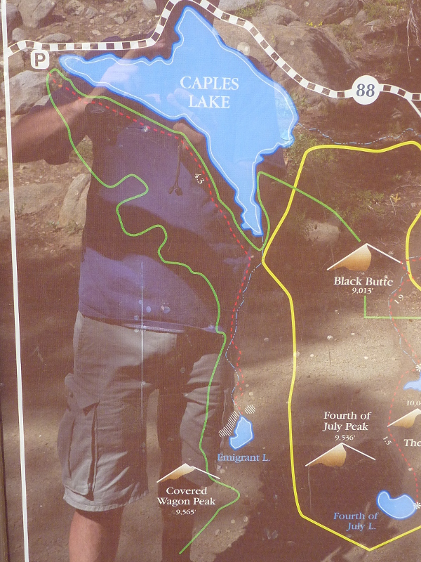
| Caples Lake reservoir south of Highway 88 surrounded by peaks and other lakes, connected via various hiking trails. The red star indicates the location of the Carson Pass Information Center. | |||
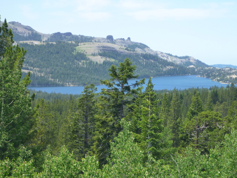

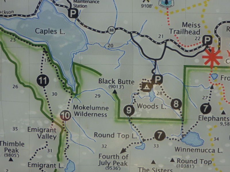

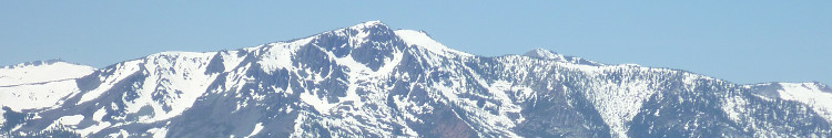
Caples Lake in California's Alpine County is a high-elevation reservoir (2378 m), west of the Carson Pass, surrounded by huge pines and a breathtaking mountain scenery including Round Top. The semi-natural lake is part of the Eldorado National Forest in the Sierra Nevada. Originally, Caples Lake existed as two separate lakes—Twin Lakes—before Caples Creek was dammed by PG&E.
A side-box on page 308 in Mike White's Afoot & Afield hiking guide (Widerness Press, Berkely, 2nd printing Nov. 2008) provides some interesting details on the history and naming of Caples Lakes:
Two small lakes known as Twin Lakes occupied this area before PG&E dammed Caples Creek and created the Caples Lake reservoir. The lake and creek were named for Dr. James Caples, a physician who, in 1849, left Illinois with his family to join a wagon train bound to California. As a resident of California, Dr. Caples had stints as a miner and a merchant before managing a 4000-acre ranch near Carson and Deer Creek.
Caples Lake is a popular kayaking, canoeing, paddling and fishing destination; although, even on a summer day, the water can still be ice-cold. Hiking trails are nearby.