


Carson Pass Information Center, a hiking and backpacking
hub next to the PCT
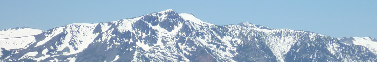
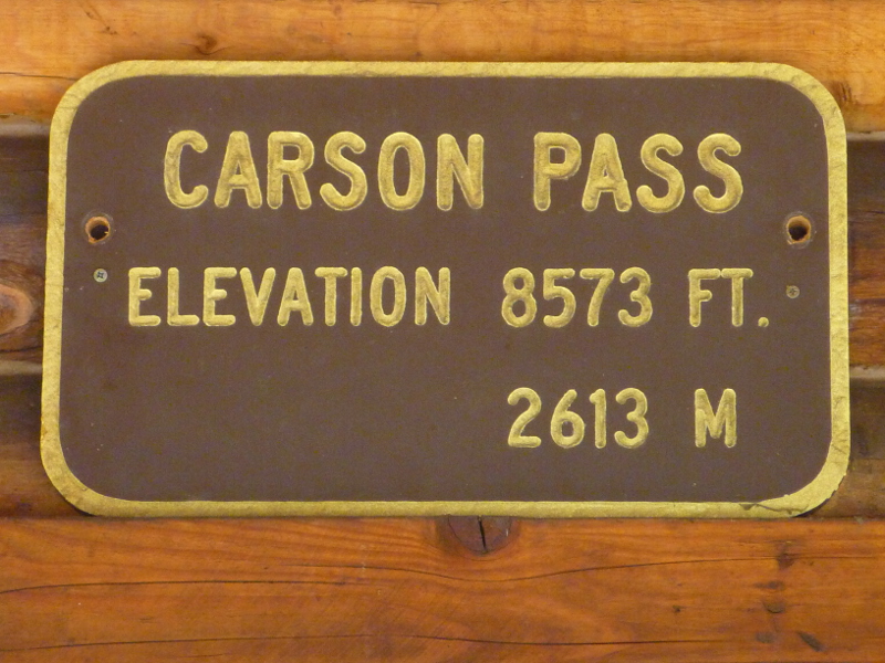 The Carson Pass Information Center, at an
elevation of 8573 ft. (2613 m), is located
where the Pacific Crest Trail
(PCT) intersects Highway 88.
At and around this
Information Station
you will meet knowledgeable and friendly volunteers or
fellow wanderers, who are eager to tell their stories and to
answer your questions about trail conditions and camp sites.
On selected days, docents offer lectures and field trips such
as an introduction to the local geology or history.
The Carson Pass Information Center, at an
elevation of 8573 ft. (2613 m), is located
where the Pacific Crest Trail
(PCT) intersects Highway 88.
At and around this
Information Station
you will meet knowledgeable and friendly volunteers or
fellow wanderers, who are eager to tell their stories and to
answer your questions about trail conditions and camp sites.
On selected days, docents offer lectures and field trips such
as an introduction to the local geology or history.
The naming of the Carson Pass and the history of its surrounding area are summarized on an information board at the PCT trailhead:
As you travel throughout this area, you will see references to Kit Carson on many landmarks such as Carson City, Carson River and where you are now standing at Carson Pass.
In the winter of 1844, John C. Fremont led a group of men over these mountain's to Sutter's Fort. Carson was hired as a hunter and Indian fighter for the treacherous journey.
Fremont was an explorer who mapped the land and named the local features, flora and fauna. He gave the river to the east of here his friend's name. This pass may have been named because of a tree that stood on the route with a carving which read “Kit Carson 1844.” It is doubtful that Carson carved the tree during that early crossing due to 20 - 30 feet of snow. He may have carved it when he returned in the summer of 1853 with a group of men and 6500 head of sheep on their way to the gold fields.
Indeed, the Carson label can be found all around, including the
Carson-Iceberg Wilderness, beyond
Ebbett's Pass
further south from Carson Pass.
Constructed, maintained and stuffed by volunteers, the
cabin-like Information Station
has books and maps for sale. Free hand-out
maps for Meiss Country hiking and day use
activities in the Mokelumne Wilderness
are available.
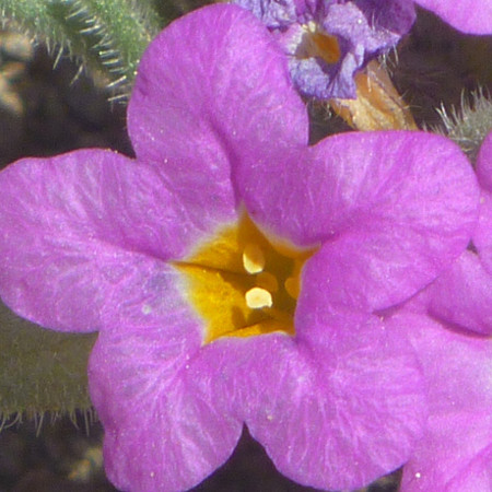
Displays and panels of the plant identification project, designed and completed in June 2012 by Mirriam Hutchinson, Gerry Hutchinson, Dennis Price and Marilyn Meyers, encourage visitors to study local plants. For example, along the west side of the Information Center front yard you will find neatly arranged and interpreted displays
of needles, bark samples and cones of tree species including the
Jeffrey Pine (Pinus jeffrey),
Lodgepole Pine (Pinus contorta),
Western White Pine (Pinus monticola),
Whitebark Pine (Pinus albicaulis) and
California Red Fir (Abies magnifica).