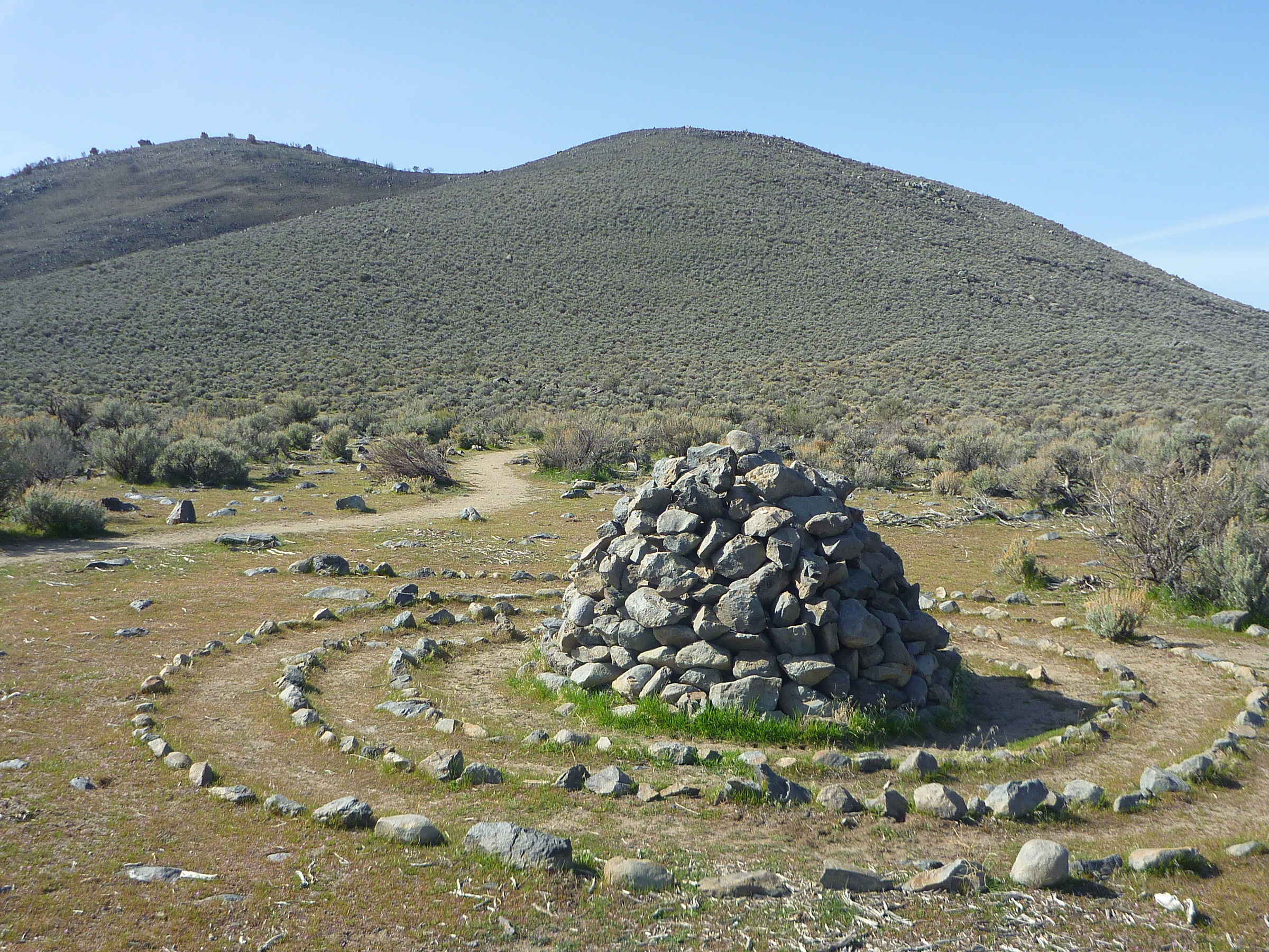
Stone-spiral mound next to the Rabbitbrush Loop (April 2, 2022) with the north-end hills of the Prison Hill ridge in the background.
The northside section of the Prison Hill area features varies trails for non-motorized recreational activities such as hiking, running, mountain biking and horseback riding. The area can easily be accessed from the 5th Street Trailhead, which is located next to the intersection of E 5th St. and Carson River Rd.
The lower-elevation brushland of the Prison Hill Recreation Area between Fairview Dr. and Carson River Rd. includes three loop trails: Sagebrush Loop, Rabbitbrush Loop and Bitterbrush Loop. You can find the stone-spiral mound in the above picture on the west-side branch of the Rabbitbrush Loop. At the southwest point of the Bitterbrush Loop, a short spur trail leads to the Boy Scout Viewpoint. Also, a connector trail starts winding uphill towards the scenic North Loop, where you will find excellent vista points for overlooking the Carson Valley and scanning the peaks of the Carson Range. The North Loop is directly connected with the Silver Saddle Ranch via the Dead Truck Canyon Trail. Consult the map and explore a loop option that matches your recreational ambition!
Further reading:
Finding freedom on Prison Hill in Carson City. Nevada Appeal, September 5, 2018.
Trail map of the non-motorized access area:
Prison Hill Recreation Area and Silver Saddle Ranch
