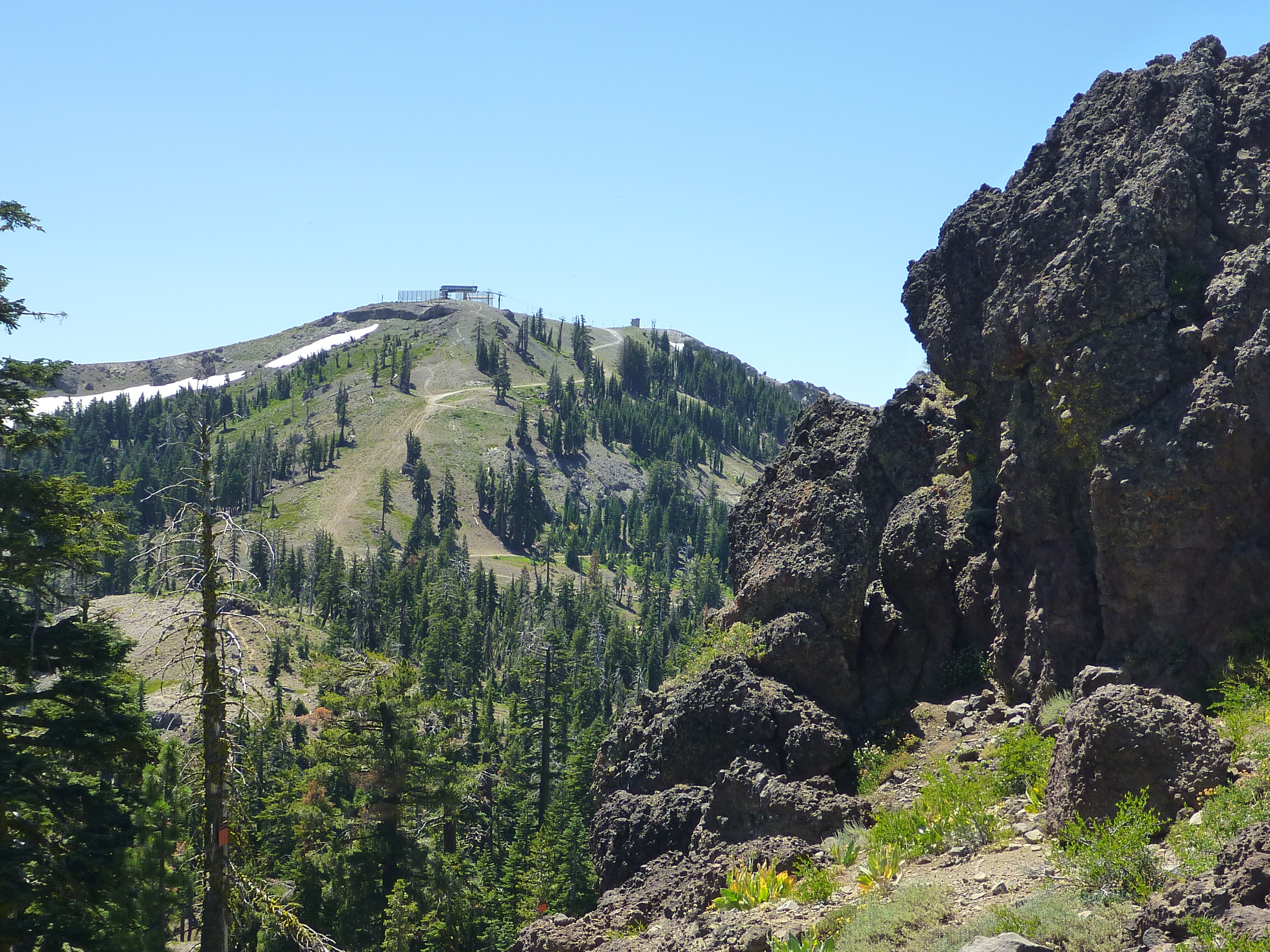
Across Roller Pass: northeast-facing slopes of Mount Lincoln with a narrow band of snow (mid-August 2019)
| Tweet |
The wagon trains came through Coldstream Canyon just south of the
current pass (the way the Donners [Donner Party] should have gone
had they not missed the turn) and then straight up Roller Pass between
Mt. Lincoln and Mt. Judah. It was so steep that wagons were brought up
one at a time...
Mount Lincoln is the highest peak of the Sugar Bowl Ski Resort.
The winter-activity installations and signs on its top can't be overlooked.
Once I hiked to the top and was greated by four people
enjoying the views from a swinging lift chair, asking me to take a
picture of them.
To get there in summer, you have two principal choices.
Either take the gravel road winding up on the Sugar Bowl side—on
the north-facing slope.
Or come up the south slope where a short single-track trail
branches off the PCT, just south of Roller Pass.
