The Rim to Reno trail project got underway in 2010 and has now been
realized: the Rim to Reno Trail connects
the Mount Rose Summit Trailhead at the
Mount Rose State Scenic Byway (Highway 431)
with the Thomas Creek Trailhead at the end of
Timberline Drive.
Let's use the acronym RtR for Rim to Reno, since R2R already stands
for a
Rim to Rim path of the Grand Canyon.
The total length of the RtR trail adds up to 21.0 or 23.4 miles,
depending on whether you consider the shorter
South Loop Route or the longer
North Loop Route.
The Rim to Reno Regional Trail System,
shown in the map above, integrates trails of the
Mount Rose Wilderness—such as the
Mt. Rose Trail—with trails in the
Galena Creek Regional Park and beyond.
On the rim-side, the RtR trail coincides with the Tahoe Rim Trail (TRT)
between the
Tamarack Peak Waterfall and the
Tahoe Meadows trails including the
Interpretive Loop
and—further southwest—the
Loop Trail System and the upper end of the
Ophir Creek Trail.
| Explore Reno-Tahoe and beyond | |
 |
 |
|
|
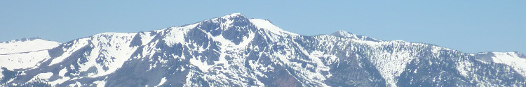
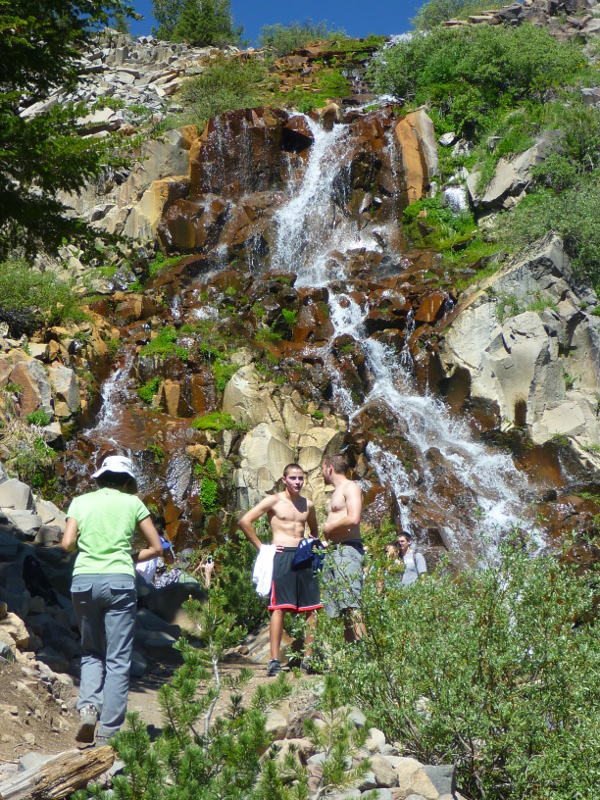
| Mt. Rose, Carson Range | Tamarack Peak Waterfall |
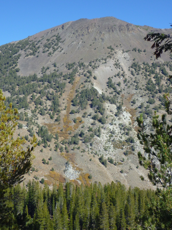
Rim to Reno Trail |
|
Upper portion of RtR Trail Lower portion of RtR Trail Thomas Creek's aspen groves |

Custom Search
|