Genoa started as a Utah-Territory
settlement in the 1850s. The
Overland Emigrant Trail passed through
this “old-west” trading post, then called Mormon Station.
In 1854 it was named Genoa, supposedly in honor of
Christopher Columbus' birthplace, Genoa, Italy.
Today, Genoa is a small, pedestrian-friendly
town in Douglas County, Nevada: an
attractive little village
of the American West.
Visitors come to see the historic Mormon
Station State Park and to explore the recently established
Genoa Trail System, shown in the map above.
The 6.2-mile-long Eagle Ridge Loop and
the 8.2-mile-long Genoa Loop combine
neighborhood walkways, canyon trails and the scenic
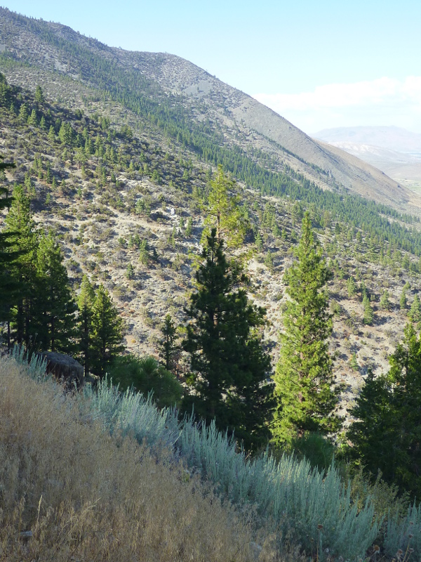
Discovery Trail. The 9.6-mile-ascend
from Genoa's Snowshoe Lane along the
Sierra Canyon Trail
to the Tahoe Rim Trail
(TRT) makes for a day hike—switchback
after switchback.
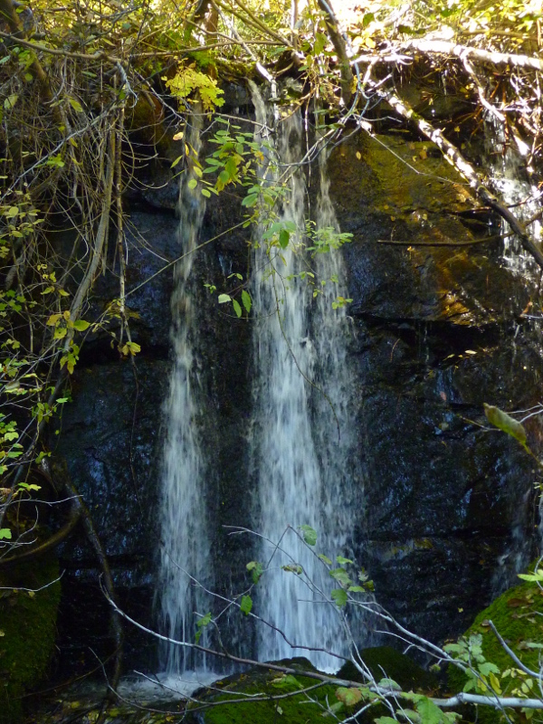
Much less climbing is involved in doing the 5.8-mile-long round trip to the serene
Genoa Waterfall in the
Genoa Canyon.
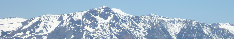
If you don't feel like climbing the slopes and canyons of the
Carson Range, there are trail options in the Carson Valley,
including the paved Genoa Vista Trail
alongside Foothill Road, the 0.7-mile-long
East Brockliss Loop
of the
Nature Conservancy River Fork Ranch,
and the four-mile round trip on the
West Fork Trail
through ranchland along the West Fork Carson River.
Trail use includes dog walking,
hiking,
mountain biking and
horseback riding—and
running, whenever you have
Madathon
ambitions. Note that bikers and equstrians are not advised in
the switchback portion of the Genoa Canyon Trail.
Be aware of possible gravel slides or rock falls.
The Eagle Ridge Trail Access,
Sierra Canyon Trail Access and
Genoa Canyon Trail Accees points
(shown in the map) provide a trail kiosk each.
Limited parking space is available.
| Explore Reno-Tahoe and beyond | |
 |
 |
|
|
| Genoa Waterfall | Discovery Trail |
Genoa Trails |
|
Genoa Waterfall Discovery Trail Sierra Canyon Trail East Brockliss Loop West Fork Trail |

Custom Search
|