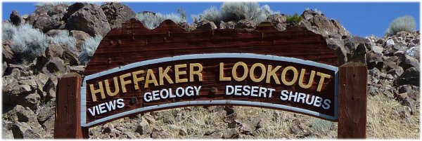
Currently, the interpretive panels are not in a good shape: some are missing, others sprayed over and many of them are disintegrating. But visitors with puzzle experience will be able to derive some information. The text snippets and illustrations on the panel address viewing targets that may be right in front of you. The targets of interest include the deer mouse, black-tailed jackrabbit, red-tailed hawk and various plants such as local shrubs, grasses and lichen species differing in color and texture. The length of the trail, looping around the two shrub-covered hills, is given with 1.4 miles. There is a connector trail between the two hill tops. Short trails such as the South Hilltop Trail fork off the main loop to particular lookout points. Others fork off to connect with neighborhoods and business parks. |
||||||
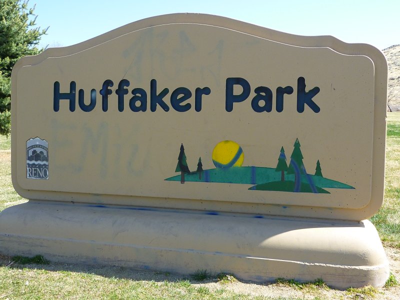
| Getting there: From the intersection of South Virginia Street and Longley Lane in south Reno, follow Longley Lane northeast for 0.3 miles and turn right on East Huffaker Lane. Follow this road for about half a mile to its intersection with Offenhauser Drive. Turn right and find parking. Huffaker Park has picnic tables and tennis courts. The trailhead of the Lookout Trail is located at the east side of the park, reached by taking the bridge that overpasses an irrigation ditch. | ||||||
References
|
|
Tweet
__ __ 
__ 
|
|
| Huffaker Park and Open Space |
|
Huffaker Hills Open Space Huffaker area animals and plants Huffaker Hills brush fire Reno's Huffaker Hills Trailhead |
|
|
Trailing Ahead |
| Video Maker |

Custom Search
|